reference system, which can be applied to all Ordnance Survey maps of Great Britain, at all scales.
kilometre grid squares, each grid square is identified by two letters, as shown in diagram A.
squares are further divided into smaller squares by grid lines representing 10 kilometre spacing, each numbered from 0 to 9 from the south-west corner, in an easterly (left to right) and northerly (upwards) direction, as shown in diagram B.
10 kilometre grid square. For example, here is TL63. After the letters you quote the eastings (6) first, then the northings (3). If you have trouble remembering, say**…** Stairs the Up Along the hall, THEN
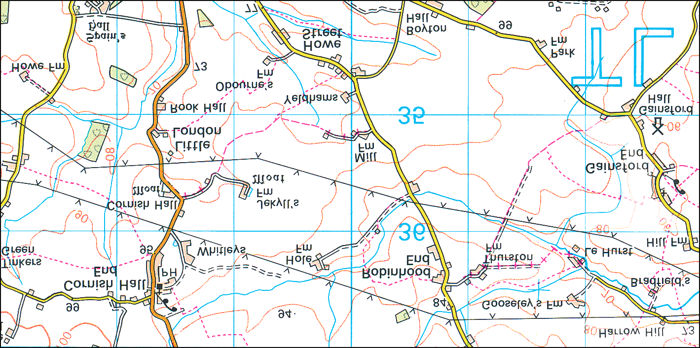
grid letters TL on the legend, or on the corner of the map, and the grid has been further divided into 1 kilometre intervals, as shown in diagram C. You can estimate distances between the grid lines to give a more precise reference.
see how easy it is to use a 6-figure grid reference to pinpoint a place on the map**…**
useful to locate a particular place on a map.
northings to one tenth of the grid interval, you can specify a full 6-figure grid reference, accurate to within 100 metres on the ground.
away from the grid your point falls. For instance, the point in diagram D is 3 tenths east of grid 62 and 7 tenths north of grid 31.
then the northings. The 100-metre grid scale map. Use the National Grid reference of the point in the diagram is reference system to find:
shown like this: TL 623317.
General enquiries: +44 (0)8456 05 05 05
Textphone: +44 (0)23 8079 2906 (Deaf and hard of hearing users only please) customerservices@ordnancesurvey.co.uk www.ordnancesurvey.co.uk Published by Ordnance Survey, Romsey Road, SOUTHAMPTON, SO16 4GU. Ordnance Survey, the OS Symbol, OS and Landranger are registered trademarks of Ordnance Survey, the national mapping agency of Great Britain.